 |
Kapoho Bay before the Kilauea eruption. Source: Google Maps
|
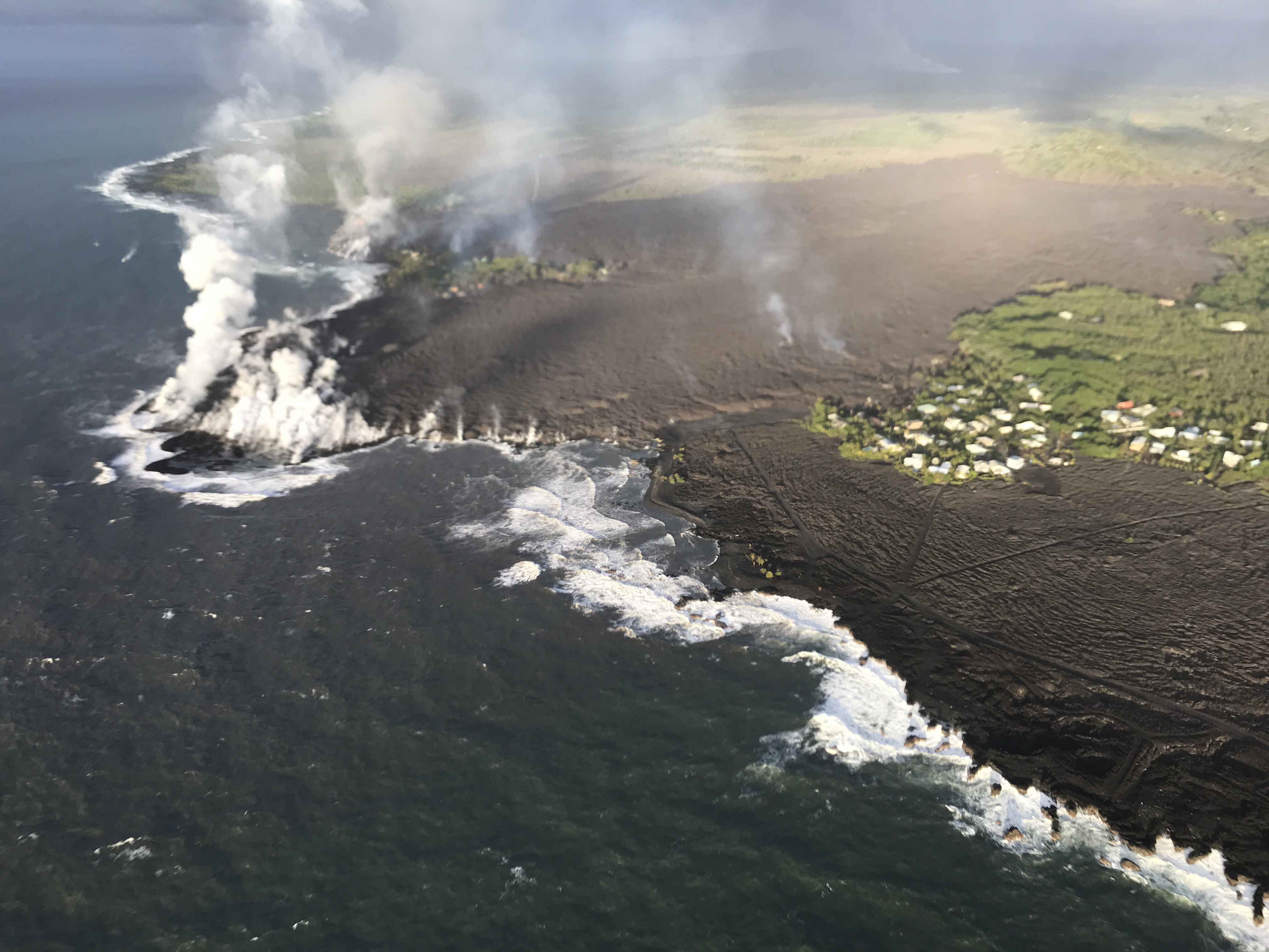
Images from the United States Geological Survey (USGS) show that lava tide from fissure 8 has completely filled the beloved Kapoho Bay and destroyed homes in greater part of the Vacation Land.
The destructive fissure 8 flow entered the ocean at approximately 10:30 p.m. Sunday evening to produce a delta that began to fill in Kapoho Bay in lower Puna. According to Jim Kauahikaua of the USGS, the bay already was halfway filled in by noon Monday, and the flow reached the north side of the bay, where Champagne Ponds is located, by Monday evening.
It is estimated that a total of159 homes were destroyed till now, which includes 42 homes recently destroyed in Kapoho Bay.
Janet Babb, the spokeswoman for the Hawaiian Volcano Observatory, said more than 20 square kilometers, or 5,000 acres, have been covered by lava since the eruption in the lower East Rift Zone began May 3.
The ocean entry of fissure 8 lava is about half a mile wide in some places, contributing to the high amount of lava haze called laze. Laze contains high amounts of hydrochloric acid along with tiny fragments of volcanic glass which can cause skin and eye irritation and difficulty in breathing.
Big Island has experienced more than 12,000 earthquakes since the Kilauea started spewing lava about a month back.
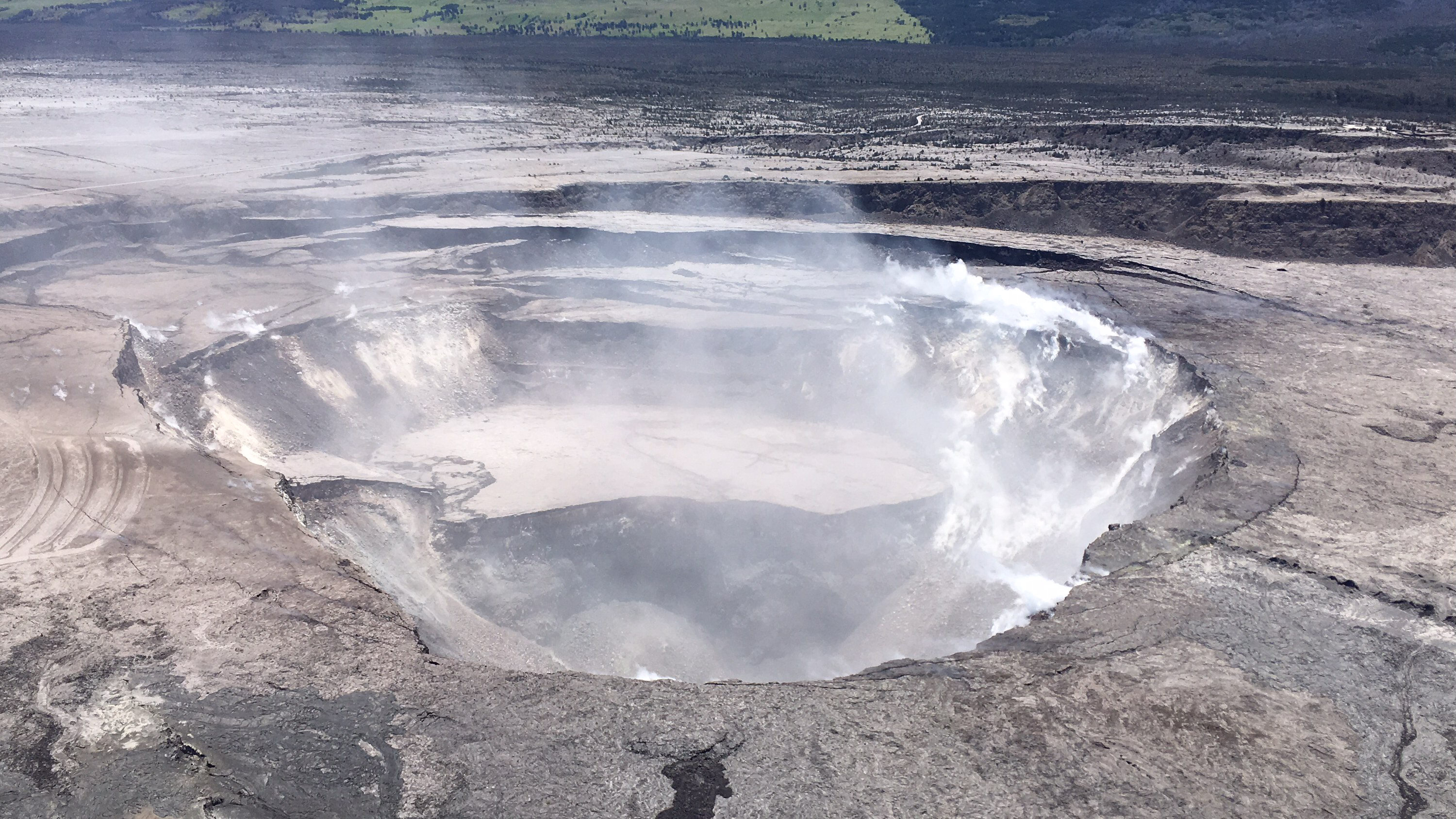
Here are some of the recent aerial photographs of Kapoho Bay and Kilauea
 |
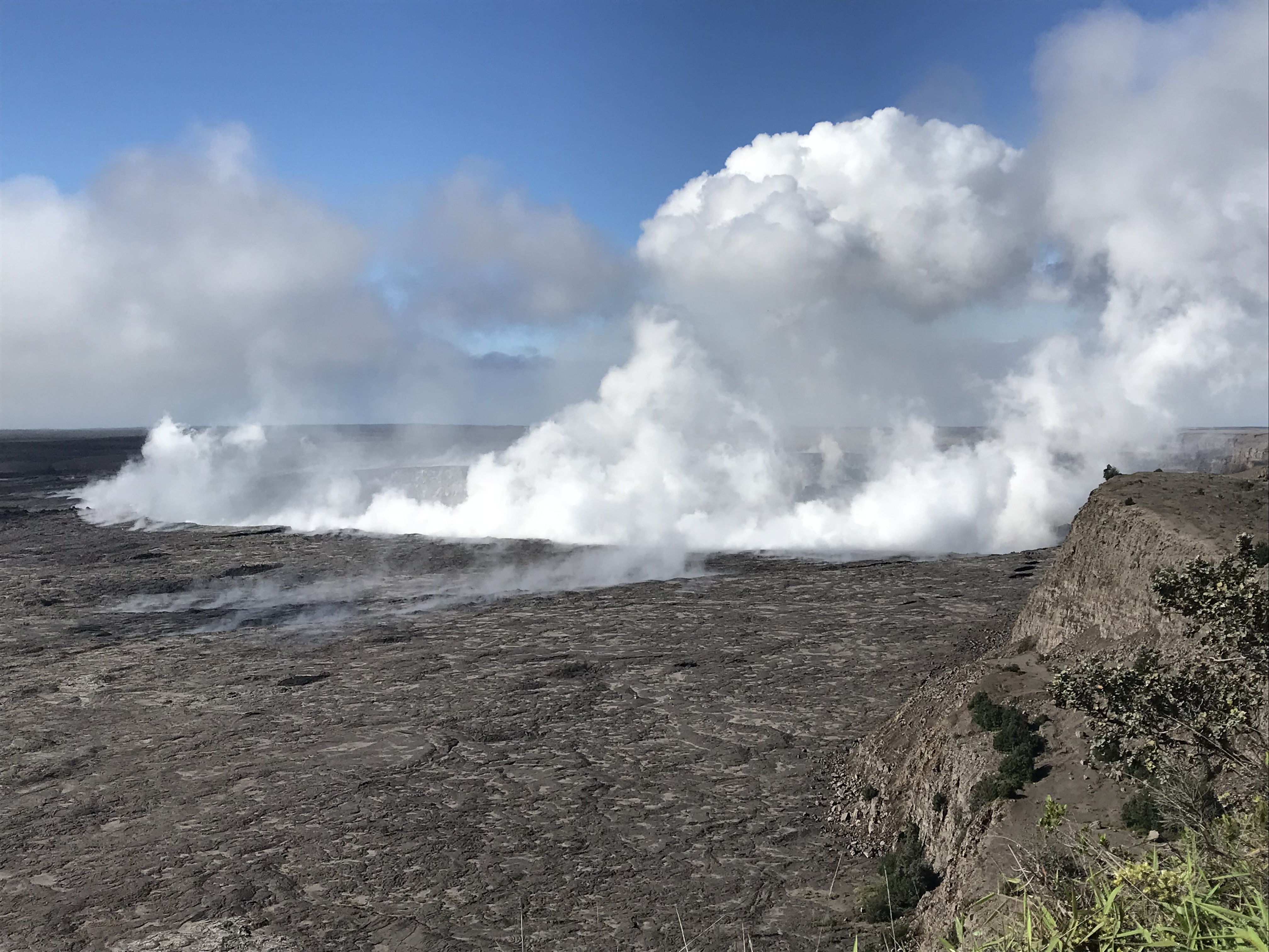
Morning view of Halema‘uma‘u and the adjacent caldera floor from the Kīlauea overlook. Heavy steam dominates the view, and strong winds are blowing the plume to the southwest.
|


No comments:
Post a Comment