 |
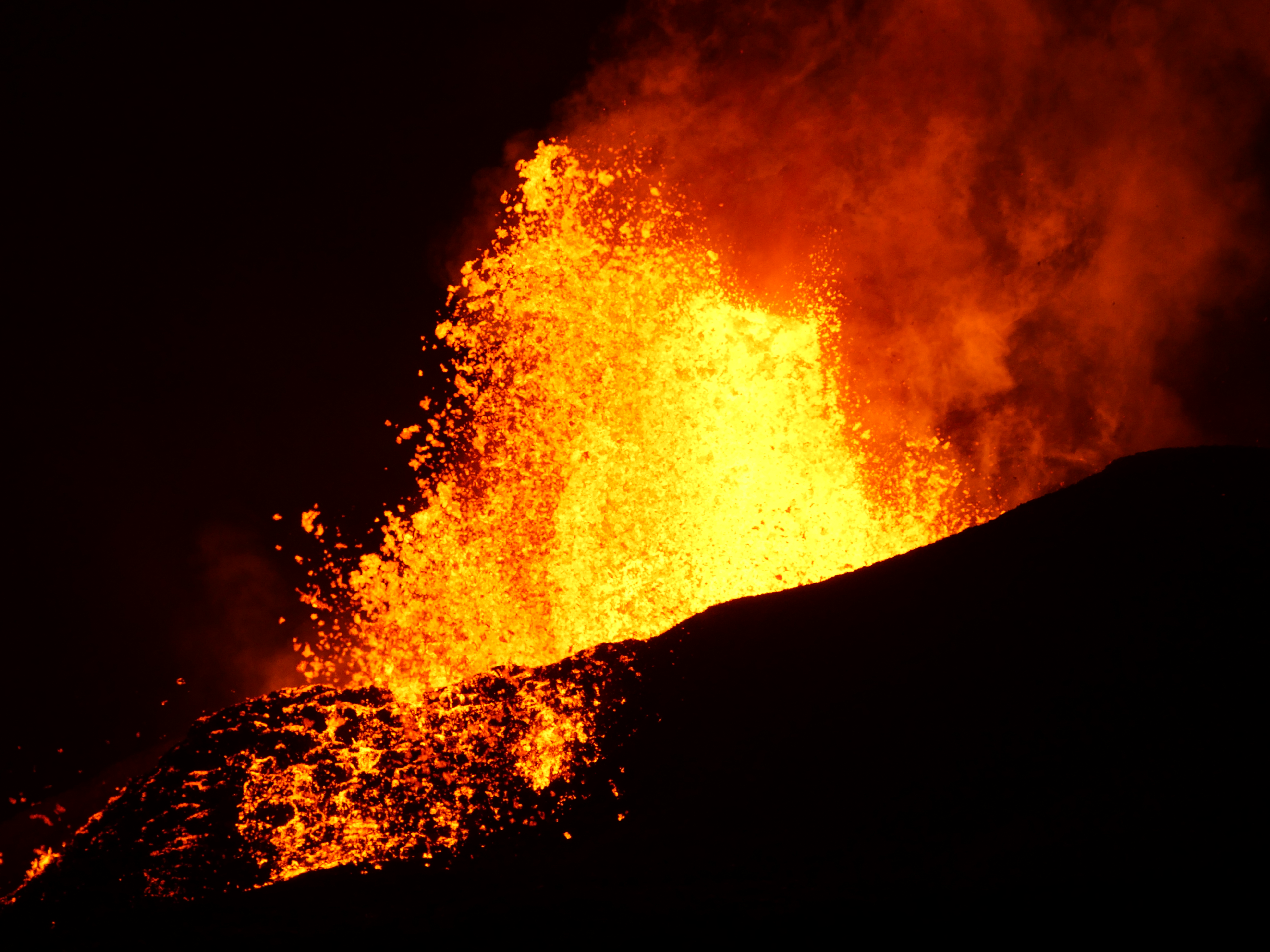
Around 3:00 a.m. HST today (June 8), lava fountains erupting from fissure 8 on Kīlauea Volcano's Lower East Rift Zone were reaching heights of 180–220 feet.
|
Here are some of the recent photos and videos about Lower East Rift Zone (LERZ) activity of Kilauea, Fissure 8, Summit activity and slumping of Halema‘uma‘u crater.
Vigorous eruption of lava continues from the LERZ fissure system in the area of Leilani Estates.
Lava continues to erupt from Fissure 8, with vigorous fountains reaching heights of about 200-220 feet. Observers on the late afternoon overflight reported no significant changes in the Fissure 8 flow field, which continues to supply lava to the ocean entry at Kapoho. Two vigorous steam plumes are rising from the ocean flow front and being blown inland. Strong thermal upwelling was noted in the ocean extending up to 1000 yards out to sea from the visible lava front. Heavy gas and steam emissions were noted at fissures 9 & 10, but lava emission is occurring only at Fissure 8.
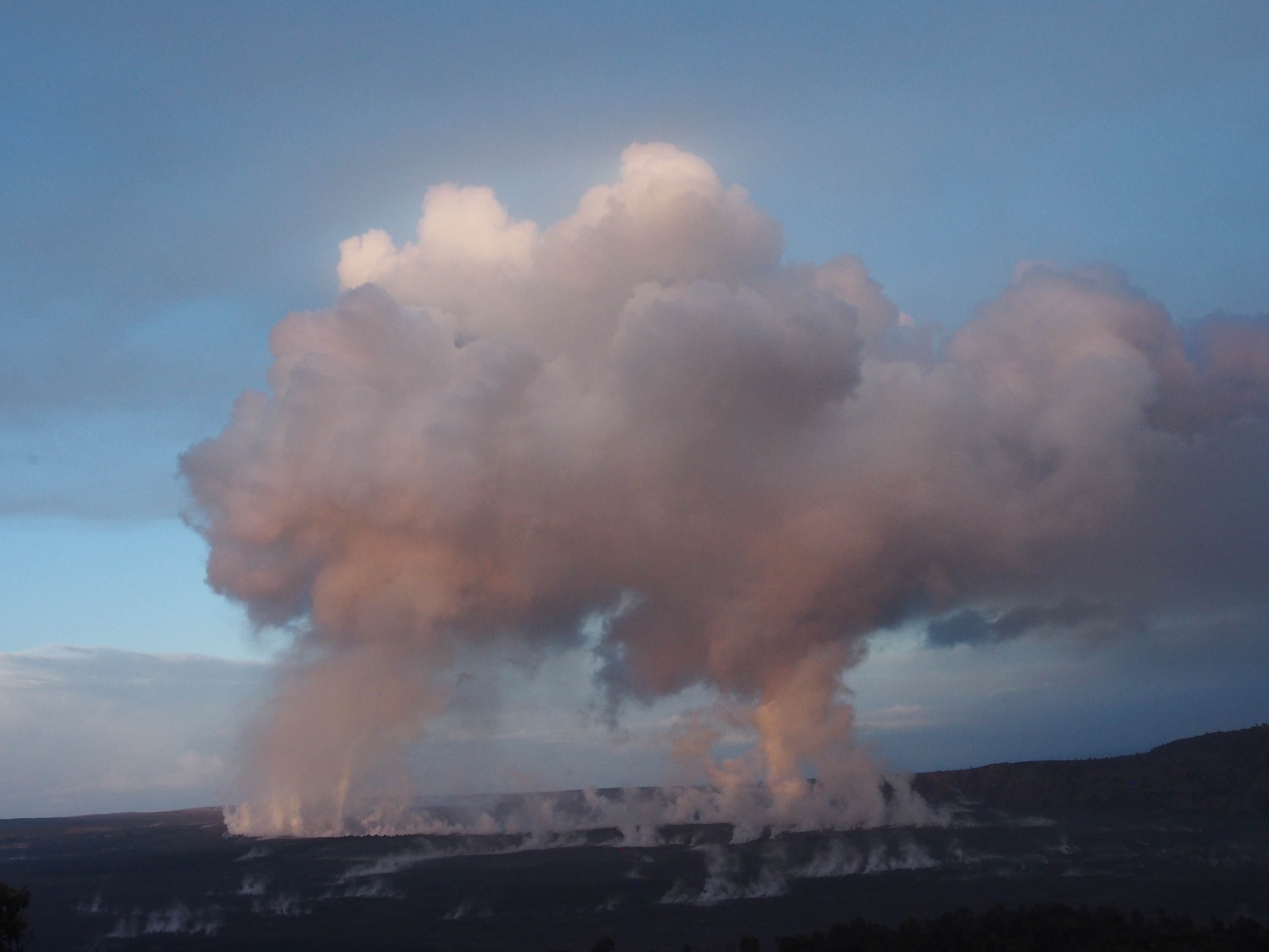 |
Outgassing from Halema‘uma‘u produced twin pillars that rose in the still morning air and merged into a towering cap above the summit of Kīlauea just after sunrise.
|
Low-level ash emissions continue at the summit with slowly increasing seismicity, indicating that another small explosion is likely in the next several hours. Inward slumping of the rim and walls of Halema`uma`u continues in response to ongoing subsidence at the summit.
Sulfur dioxide emissions from the volcano's summit, while lower than those recorded in early-mid May, remain high enough to impact air quality in downwind regions. Additional bursts of gas released with intermittent explosive activity are also transported downwind and may temporarily affect air quality as well.
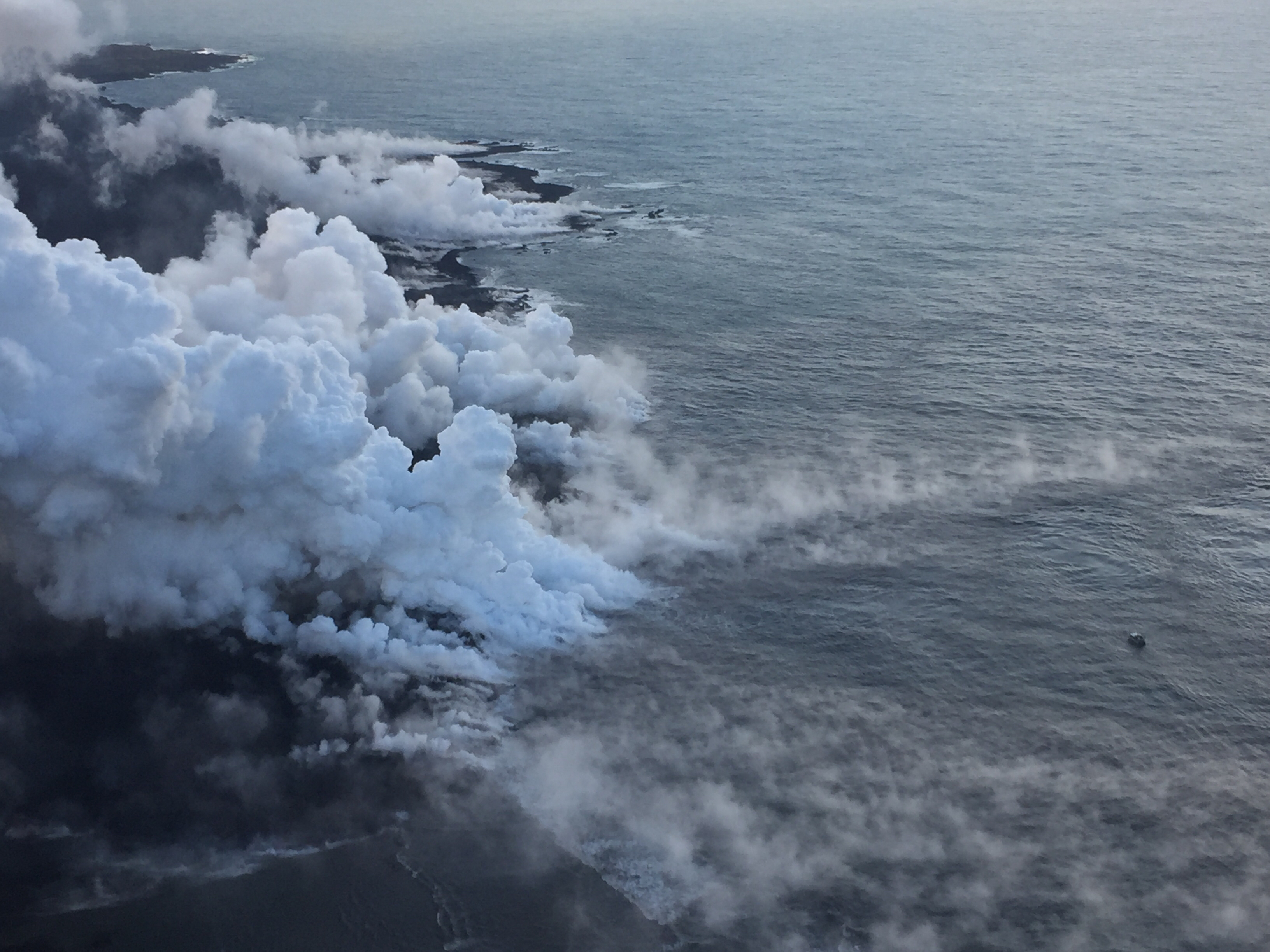 |
The Kapoho ocean entry (as of 6:30 a.m. HST), where the interaction of fissure 8 lava and seawater produces a white plume called "laze." Laze is a mixture of condensed acidic steam, hydrochloric acid gas, and tiny shards of volcanic glass, and can be irritating to the lungs, eyes, and skin.
|
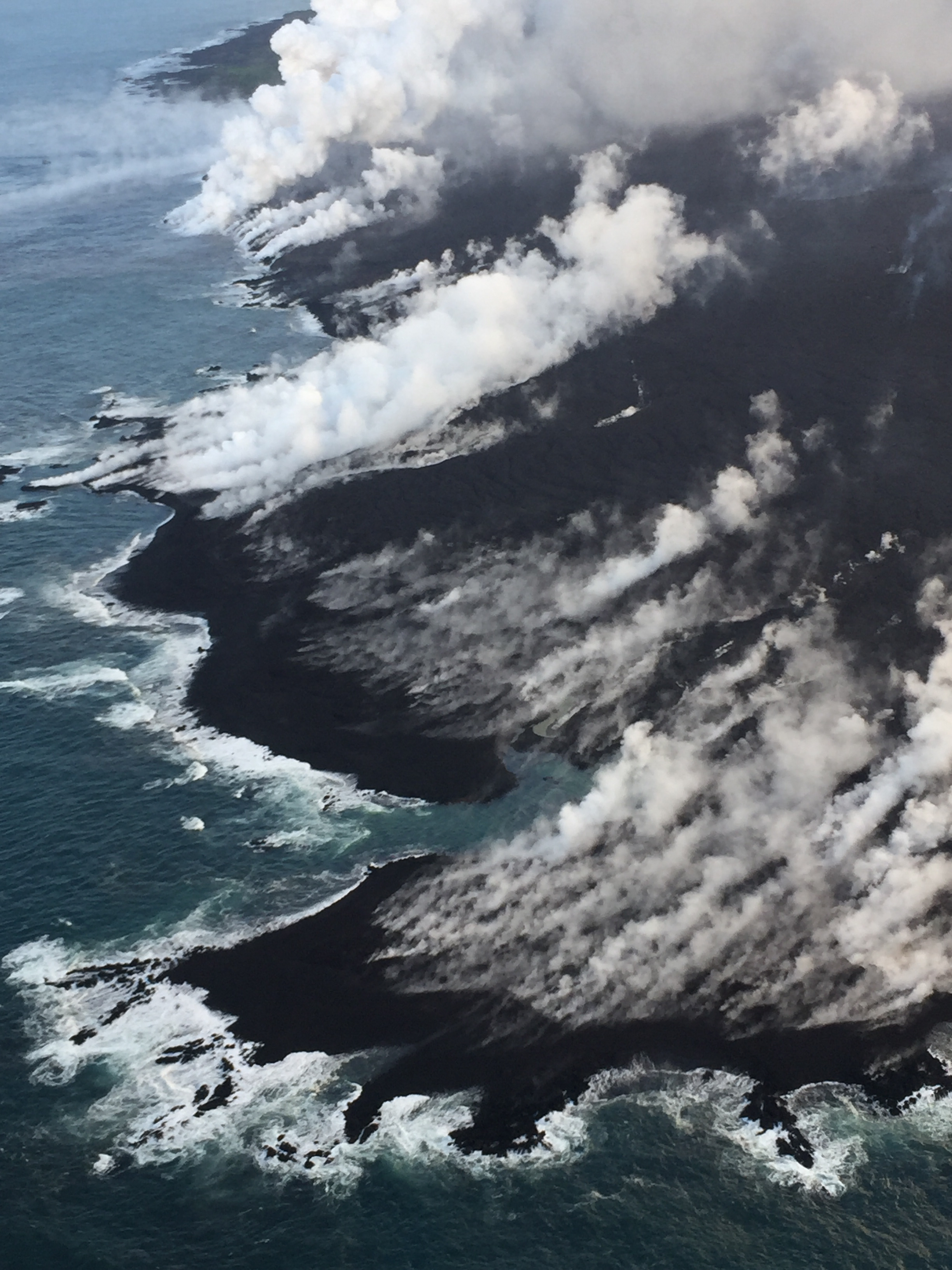 |
HVO's early morning helicopter overflight of Kīlauea's lower East Rift Zone showed that lava continues to flow into the ocean in the vicinity of Kapoho Bay and Vacationland.
|
 |
Dramatic changes at Halema‘uma‘u could be seen through gases rising from the crater during HVO's overflight of the summit this morning at 10 a.m. HST. The view here looks to the southwest, with the former overlook parking lot barely visible to the left of the gas plume.
This is a
video compilation from a helicopter overflight of Kīlauea Volcano's lower East
Rift Zone on June 6, 2018, around 6:30 AM. The video shows the fissure 8 lava
fountain feeding a channelized lava flow that travels northeast around the
Kapoho cone, and then flows toward the south to enter the ocean at Kapoho Bay
and Vacationland. The ocean entry has completely filled Kapoho Bay with lava,
building a delta that extends 0.8 miles from shore.
|
